

To move your existing Trimble mobile mapping data into DeepWalk, export three files: a colorized point cloud in LAS 1.4 format, sidewalk-facing images with a reference.csv pose file, and a camera calibration JSON file. Below is the full step-by-step process.
If you’ve captured data with a Trimble mobile LiDAR device, you don’t need to recapture it to start using DeepWalk. This guide brings you through the steps on how to export your existing point cloud, imagery, and calibration data so it’s ready to process in DeepWalk Drive.
To export a colorized point cloud from a Trimble device:
This combination captures GPS time and RGB data together in a single export, which simplifies alignment and processing once the data is in DeepWalk Drive.
Sidewalk imagery with pose data is exported from the Mobile Mapping tab using the Export to TMX function:
Each exported folder includes a reference.csv file. This file contains the position and roll, pitch, and heading data for every image, which provides the pose information needed to accurately place and orient imagery within DeepWalk Drive.
The camera calibration file is exported as a .json from the Mobile Mapping ribbon:
This file contains your camera’s intrinsics and distortion coefficients. Using the as-processed version, rather than the factory default, ensures the calibration reflects your camera’s real-world performance.
Your point cloud, sidewalk imagery, and calibration file are exported and ready. Bring your existing Trimble data to DeepWalk and start running sidewalk inspections, no recollecting required. Contact our team to kick off your migration and get your questions answered.
Map the current sidewalk mileage in your city, town, neighborhood, or custom area. Our new mileage tool pulls accurate sidewalk information, allowing you to plan efficiently, budget effectively, and determine the amount of data collectors for your project. The data is sourced from OpenStreetMap, a free, collaborative mapping platform built and maintained by contributors worldwide.
Get A Free Mileage Estimate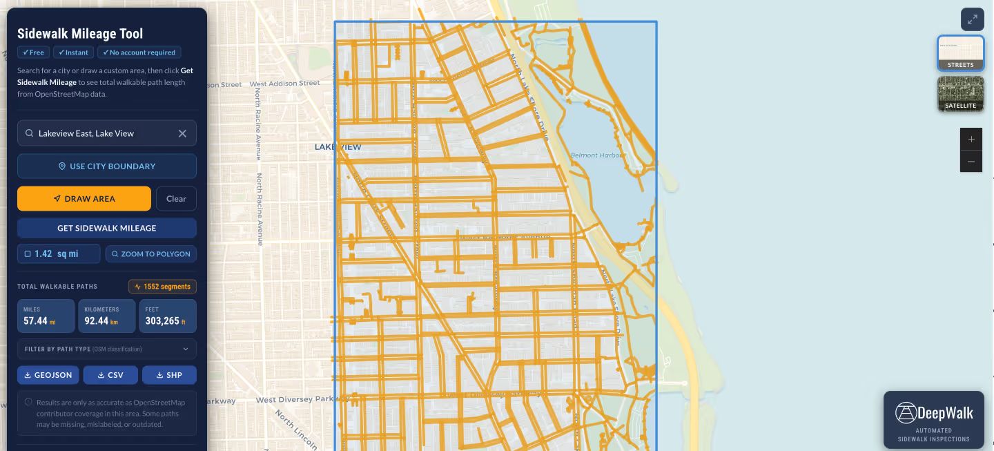
.avif)
DeepWalk is the sidewalk inspection solution trusted by 120+ municipalities and consultants nationwide.
© 2026 DeepWalk Research, Inc.
All rights reserved.